Earth observation satellites help track wildlife populations
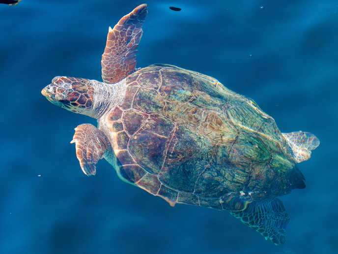
Scientists can combine animal tracking data with remotely-sensed EO data from the European Space Agency’s Copernicus EO programme, providing new and exciting opportunities for wildlife protection. However, exploiting EO datasets can be a problem for scientists that do not have the technical capabilities to access and process this information. The EU-funded EO4wildlife project designed an open cloud platform to facilitate data integration for researchers. The consortium developed a system to access the Sentinel satellites’ EO data along with an operational and easy-to-use platform to query, mine and extract information from different databases. This included the use of Open Geospatial Consortium (OGC) standards for sensor observation. The EO4wildlife platform includes a toolbox of interoperable data processing services and features that connect to animal tracking databases, access large data collections from the Copernicus Marine core service, sample relevant environmental indicators, and run environmental models in a scalable processing environment. Standard format developed Based on the tracked locations, the platform can automatically extract several EO variables, like chlorophyll-a and sea surface temperature, using data from the new Sentinel satellites and other sources. It provides several options for extracting data, and user-defined solutions for temporal and spatial resolution. “Services were initially based on dedicated scenarios that were founded on the interests of different scientific communities: seabirds, sea turtles, marine mammals and pelagic fishes,” says project coordinator Mr Jose Lorenzo. Consortium members also developed a generic EO4wildlife XML format to standardise not only the ARGOS location data coming from the users’ platforms like seabirdtracking.org and seaturtle.org but also any animal track from any other scientific community. Emphasis was placed on the metadata description of the ARGOS and EO data and EO4wildlife services to follow the ISO/OGC/European standards. ARGOS is a satellite-based system that collects, processes and disseminates location and environmental data from fixed and mobile platforms worldwide. Benefits across the world EO4wildlife will contribute to the efficient and widespread exploitation of the existing and planned European space infrastructure (especially Copernicus with its sentinel satellites) via a platform enabling access to Sentinel EO data, ARGOS databases, additional thematic databank portals, and other EO and MetOcean databases. It also provides additional facilities to develop and run algorithms for dedicated data analysis and modelling. The project therefore benefits large communities of multidisciplinary research scientists from around the world, including biologists, ecologists and ornithologists, who can collaborate whilst using European Sentinel Copernicus EO more extensively and effectively. “For example, the platform allows scientists to connect to the Seabird Tracking Database, hosted by BirdLife International, which now curates more than 11 million locations for more than 100 species,” comments Lorenzo. Moreover, data can be uploaded to explore how seabird tracking and oceanographic variables can be combined to develop predictive habitat utilisation and species distribution models. “These can be used to set up dynamic management tools for authorities like fisheries, shipping and Marine Protected Areas to help them make real-time decisions to protect selected seabird species and enhance scientific knowledge of pelagic fish migration routes, reproduction and feeding behaviours for better species management,” Lorenzo concludes.
Keywords
EO4wildlife, Earth observation (EO), database, Sentinel, seabird, Copernicus, fish, animal tracking, sea turtle