Flexible disaster management

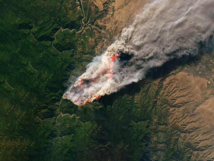
Current emergency management tools are hazard-specific and cannot be easily adapted to support management of other types of disasters. Furthermore, the potential of space-based technologies, such as Earth observation and satellite navigation, is not fully exploited. The EU-funded PHAROS (Project on a multi-hazard open platform for satellite based downstream services) project was initiated to address the need for tools that allow systematic integration of different information sources. The modular design approach adopted promises flexibility and scalability. The newly developed system has a broad range of functionalities but also allows for adding and removing system elements corresponding to the hazard. In addition, its deployment can be adapted to different organisational structures – at local, regional, national and international levels. System assets include tools covering the entire emergency management cycle, starting with data collection, processing and distribution. In addition to detecting risks and emergencies and forecasting how disasters may evolve, it provides decision support services and communication services for alerting the public. The PHAROS platform enables information sharing among different jurisdictional and organisational levels, identifying relevant information items and supporting data sharing. Its functionalities were demonstrated in Solsona, Spain in March 2016 during a prescribed fire. The demonstration was carried out in cooperation with the Catalan fire brigades. Aerial images were collected by helicopters and presented to users along with satellite data from 'Moderate-resolution imaging spectroradiometers' (MODIS) for situation assessment. The feedback received from the users was translated into recommendations to advance the development and implementation of PHAROS. Although initially focused on the forest fire scenario, the pre-operational system has the potential to become a multi-hazard management platform. A short presentation of the new system is available here(opens in new window).