A cloud of uncertainty no more
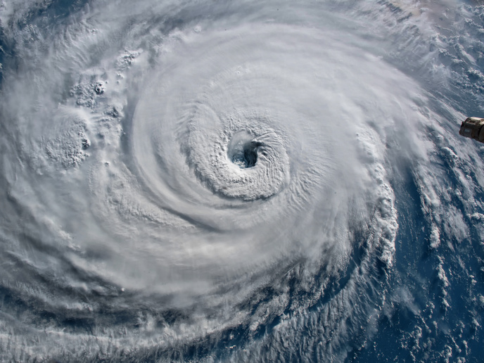
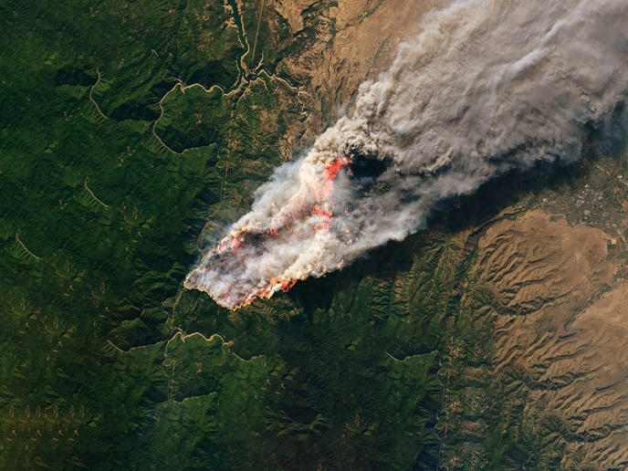
Far from being scattered randomly across the sky, clouds often organise into massive, complex systems that can span hundreds of kilometres. Among the most dramatic examples of these mesoscale convective systems are tropical cyclones, where a towering ring of clouds spirals around a calm central eye. But what causes clouds to cluster? That’s a question that has long stumped climate and weather scientists. It’s also the question that the EU-funded CLUSTER project set out to answer. “Improving our understanding of how cloud organisation works and how it may change in a warming world(opens in new window) is essential for developing climate models that can better predict future rainfall patterns – a critical need for communities worldwide,” says Caroline Muller(opens in new window), a climate scientist at the Institute of Science and Technology Austria(opens in new window), the project’s coordinating partner.
Finding answers in the tropical atmosphere
The project originally planned to use existing satellite and ground-based observations of the tropical atmosphere as a means of studying atmospheric radiation, a key process behind the organisation of storms. However, during the project, the project team had a chance to participate in a major field campaign in the tropics where they could collect new, high-quality measurements of the atmosphere. “This gave us an opportunity we hadn’t anticipated, namely, the ability to compute radiative profiles with very fine vertical detail,” explains Muller. Based on these observations, the project developed a new theory to explain how radiation varies across space, depending on moisture conditions.
Cloud organisation and extreme weather events
The project, which received support from the European Research Council(opens in new window), also looked at the core physical mechanisms behind cloud organisation and its implications for weather extremes. For example, using idealised simulations, researchers determined that convective self-aggregation can significantly amplify instantaneous extreme rainfall. They also linked more organised convection to intensified daily tropical precipitation extremes. “By connecting the physics uncovered in idealised studies to both realistic numerical simulations and actual observations of the atmosphere, we delivered a clearer understanding of the processes that drive the formation of organised storm systems, as well as the consequences for extreme weather events,” adds Muller. Researchers recently began using machine learning tools to analyse storm systems in realistic global climate simulations, a line of work that allows them to dig deeper into the structured behaviour of organised storms.
Preparing for a warming climate
In science, answering one question often raises ten new questions, and the CLUSTER project is no exception. That’s why, even though the project is now finished, Muller and her team’s work continues. For instance, they are currently looking at using the latest in global, high-resolution climate simulations to further explore the societal and climatic impacts of organised cloud systems. “Whether it’s circular mesoscale convective complexes, squall lines or tropical cyclones, I hope our findings on organised cloud systems contribute to the broader international effort to better prepare for a warming climate,” concludes Muller. “Understanding these systems is crucial if we want to anticipate how extreme weather may evolve in the future.”