Tackling water challenges through combined know-how
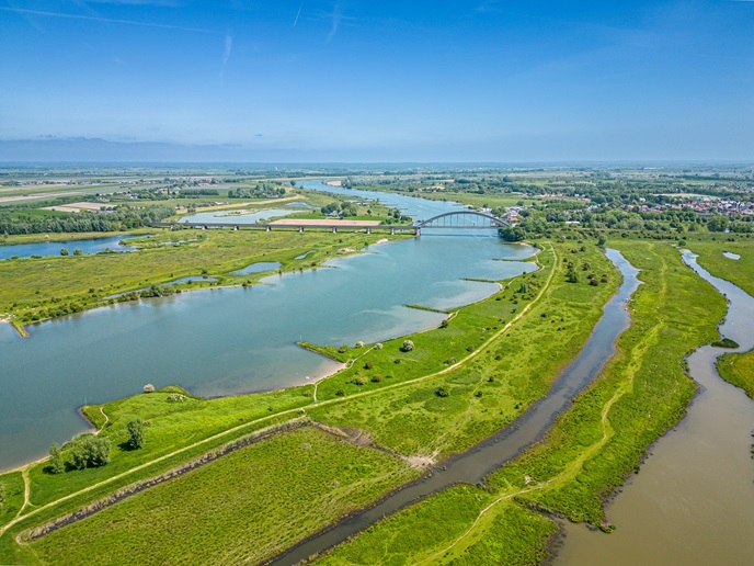
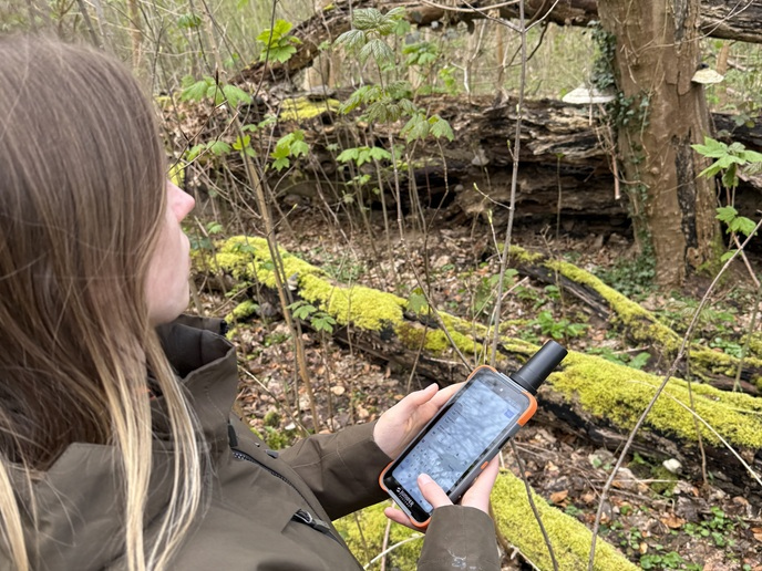
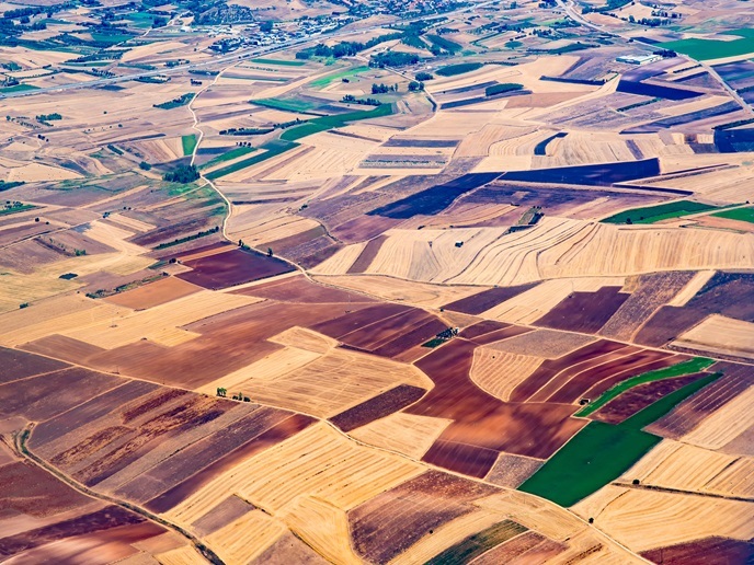
Surface water systems such as rivers, lakes, and reservoirs are under increasing pressure from climate change, pollution, and overuse. In many regions of the world – especially those with limited monitoring infrastructure – there is a lack of timely, reliable, and actionable data for decision-making on water quality and availability. The EU-funded SWIM(opens in new window) project was launched by the EU Agency for the Space Programme(opens in new window) (EUSPA) in November 2024 to address this urgent need. The consortium aims to integrate Earth Observation (EO) data from Copernicus satellites with internet of things (IoT) sensors and AI-based analytics to offer an accessible, automated surface water information platform.
U.S. cloud computing expertise with Europe’s vibrant space industry
To achieve this, the project is bringing together expertise from both sides of the Atlantic. The consortium includes partners from the EU, the U.S. and Colombia. “Our U.S. partner Rayner Software is providing us with access to expertise in cloud computing and decision support systems,” explains SWIM project coordinator Jacek Gruszka from Offshore Monitoring(opens in new window) in Cyprus. “They are contributing cutting-edge capabilities in back-end data infrastructure and software development for real-time environmental applications.” Rayner Software started developing its Orbiter app in 2020. It leverages the vast amount of data collected by the Copernicus program to bring a new view of our planet to the public. “We were honored to win ESA’s Copernicus Masters prize for this in 2021,” says Tyler Rainer from Rayner Software. “This opened up a new world of collaboration with Europe’s vibrant space industry, which is continuing with SWIM. Each project member brings their own unique passions and insights toward the common goal of understanding our planet’s most important resource: water.” The project will also leverage local knowledge and field access in Colombia for pilot deployment, as well as scientific and applied expertise from Europe in hydrology, EO, and systems engineering.
Actionable insights through AI
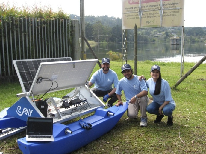
The finalized platform, based on WAMO (Water Monitoring) technology developed by one of the partners – e.Ray – will include three core analytical modules, covering water quality, water balance, and natural disaster risk. The system will aim to deliver continuous and accurate data on various ecological parameters, such as water quality and algal blooms, and provide predictions of future conditions and assess risks related to surface waters (such as floods and droughts). “This information will be delivered as actionable insights through an AI-supported decision support system with user-friendly visualization and alert functions,” adds Gruszka. “The aim is to empower local authorities and stakeholders with better data for surface water management.” The project, due for completion in April 2026, has already made strong early progress in a number of areas. The EO and in situ data ingestion pipeline has been defined, forming the technical foundation for monitoring. A detailed dissemination and exploitation plan is also in place to guide stakeholder engagement.
The tiny blue dot
Next steps include the deployment of early AI models, the launch of pilot testing with WAMO sensors in Europe and Latin America, and the gathering of user feedback to further refine the system. “The project has already benefited greatly from the diverse perspectives and skills across continents,” says Gruszka. “Cross-border collaboration is proving to be both technically enriching and culturally valuable. We’re seeing strong engagement and mutual learning, particularly around adapting EO applications to different geographical and governance contexts.” Rainer agrees. “When people with different backgrounds and experiences come together as a team, new insights and resources are unlocked,” he remarks. “That zoomed-out view of Earth is unifying and reminds us of this tiny blue dot on which we all live. I like to think of our project as a little ‘mini-International Space Station’, bearing the flags of many nations, but all under the unifying banner of humanity.” The ultimate measure of the project’s success will be the eventual delivery of enhanced water governance through better data, early warnings for environmental hazards such as algal blooms and floods, and cost-effective monitoring solutions for regions with limited infrastructure. In doing so, the SWIM project will be making a valuable contribution to the UN’s Sustainable Development Goal 6, which is focused on ensuring access to water and sanitation for all.