Low-cost solutions improve water management in Africa
Africa is home to over 1 billion people, and it has one of the fastest growing populations in the world. To better manage its resources, Africa needs economically sustainable solutions for water monitoring. The EU-funded TEMBO Africa project aims to reduce the cost of measuring hydrological variables for three water-related services by more than 90 %.
Water-focused services
For the African market in Ghana, Kenya and Zambia, the project focused on stakeholder-identified services related to geohazards, water management and agricultural information. Companies in multiple sectors will benefit from the services produced by project partners that include the Kenya Meteorological Department and the Ghana Agricultural Insurance Pool. Initially, the project considered bathymetry – measuring the floor depth of a body of water – an intermediate outcome connected to reservoir management. But measuring water depth was of interest to many companies, and through efforts spearheaded by the University of Zambia, bathymetry emerged as an additional service focus.
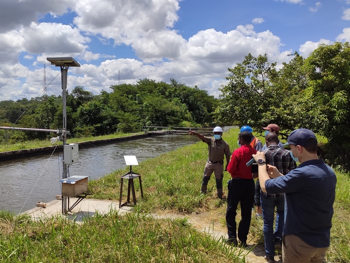
Innovative sensing solutions
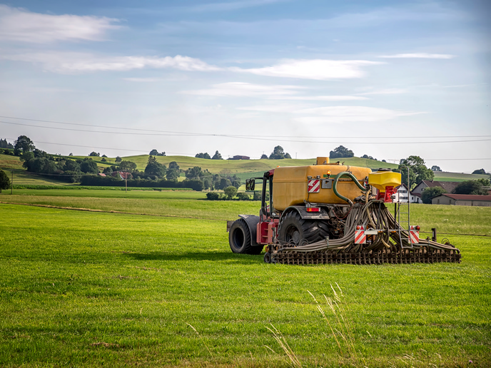
TEMBO Africa uses a variety of technical resources to provide drastic cost cuts to water monitoring solutions. By introducing robust hardware with easily replaceable parts, the project has delivered inexpensive monitoring equipment. Project partner SEBA Hydrometrie(opens in new window) with associated partner photrack AG(opens in new window) developed three optical water monitoring tools (hardware and software). For image-based observations, flow measurement systems were set up in Zambia and Ghana. These systems provide users with continuous measurements on water level, flow and discharge. Another camera-based system uses a Raspberry Pi(opens in new window), and its main components are a camera, a power unit and a modem. An open-source software that runs on the ptBox OpenRiverCam has been developed by TEMBO project partner Rainbow Sensing(opens in new window) for image-based measurements.
Leveraging global observation satellites
In addition to hardware solutions, TEMBO Africa also makes the most of satellite communications. Available to a range of private and public users, the international initiative Global Earth Observation System of Systems(opens in new window) facilitates sharing the information collected from a global array of observers. Such information includes data from global navigation satellite systems (GNSS), which provide the precise location of positions on Earth. “Among the project’s achievements is the first operational GNSS reflectometry service that measures water heights of large water surfaces by comparing GNSS signals sent directly from the satellite with signals that bounce off the water surface. There is no contact with the water, which makes this solution especially robust,” shares project coordinator Anna Gralka.
Optimising creative partnerships
A goal of TEMBO Africa is making sure solutions are marketable and sustainable. Establishing local enterprises that can maintain water monitoring infrastructure is key. Working with TAHMO(opens in new window) weather stations, TEMBO Africa ensures its solutions are embedded in an infrastructure well suited to the demands of the African environment. Creative, flexible problem solving is central to the project’s work. Speaking about installations at hydropower companies, Gralka states: “Each dam has its own particular challenges, from software legacies to specific physical settings. By organising co-creation sessions with individual power companies, we are able to rapidly ascertain what is needed.” Optimal solutions for improving water management services in Africa must be inexpensive, low-complexity and take advantage of the available resources. Using revenue generated by project-produced services, TEMBO Africa has already delivered several tangible results and has made hydro-meteorological data in Africa freely and openly available.