Monitoring bird habitats from space protects biodiversity
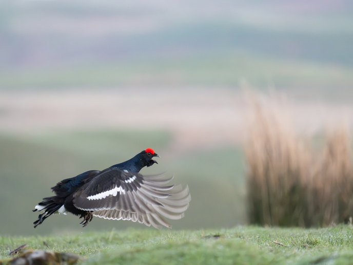
There is a well-established link between intensive agriculture and decreased farmland biodiversity(opens in new window). This is most pronounced in larger monoculture fields, especially when landscape features such as hedges or trees are removed, and exacerbated by chemical and fertiliser use. “While longstanding EU agricultural policies exist to tackle these issues, individual measures are often either not effective enough, or not well-aligned with local requirements,” says Nastasja Scholz. Scholz is the coordinator of the EU-funded project BirdWatch(opens in new window), which identified specific local ecological needs for bird populations to thrive, helping decision makers adopt the most appropriate support measures. “Using species-specific habitat suitability as an indicator, after first assessing the current situation, we quantified the likely success of possible measures, such as growing grassland instead of arable crops,” explains Scholz from LUP(opens in new window), a company specialising in environmental planning and the project host.
Habitat optimisation model
BirdWatch combined satellite remote sensing with species distribution modelling(opens in new window) (SDM) to assess the current status of farmland habitats, and to monitor suitable habitats. “Many SDMs use the R programming language and with so many R libraries available, the real skill is understanding the underlying ecology, statistics and geodata, to properly apply them,” adds Scholz. Satellite data quantifies the landscape in terms of attributes, such as vegetation health or spatial arrangements of land cover types, while SDM assesses the area’s suitability for a specific bird species(opens in new window). SDM calculates the probability of a bird species choosing an area as its habitat, measured in units of 200 square metres, the average size of a bird’s habitat range. “While the results cannot guarantee the presence of birds, they do offer a scientifically robust estimate of whether an area is suitable as habitat,” notes Scholz. Once relevant habitat features are selected, locations matching these are identified using satellite data (e.g. from Copernicus Sentinel-1 or Sentinel-2)(opens in new window) or pre-existing datasets (e.g. open-source Land Parcel Identification System data), guided by farmland parcel boundaries in each of the project’s test regions of: Flanders, Belgium; Germany; South Tyrol, Italy; and Lithuania. SDM used a nested approach, calculating the climate suitability for each bird species, followed by habitat suitability based on layers of environmental data. SDM employs regression and machine learning approaches to analyse species-specific occurrence data (mainly from annual monitoring surveys) and establish a statistical relationship between birds’ locations and geospatial features. BirdWatch also developed a habitat optimisation framework to support farmland bird conservation and evaluate how the spatial targeting of conservation measures influences biodiversity. SDM models were combined with a so-called ‘mixed-integer linear programming’ approach to allocate cost-sensitive conservation measures. “Our decision support tool determines where local land use management strategies would have the biggest restoration impacts, and which conservation strategies would work best,” Scholz explains.
Better targeted ecosystem policies and funding
With increased farmland biodiversity an essential part of ecosystem health, BirdWatch’s proof of concept contributes to many agriculture- and environment-focused policies. The project’s ambition also directly supports the EU Nature Restoration Regulation(opens in new window), especially its ambition of monitoring, evaluating impacts and selecting locally relevant measures. “With less money available for agri-environmental or climate measures, we need more targeted approaches for high-impact measures,” remarks Scholz. The BirdWatch team is currently working in collaboration with the Ministry of Agriculture, Food, Environment and Consumer Protection of the State of Brandenburg, Germany, to support the establishment of a species protection area and the selection of relevant conservation measures.