


New AI tools for monitoring Europe’s protected nature

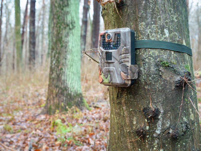
Biodiversity monitoring often falls short because nature is vast, field capacity is limited and many species are present only at certain times or under specific conditions. The EU-funded MAMBO project(opens in new window) is developing tools that use cameras, sound recorders and remote sensing to help agencies and site managers track species and assess habitat conditions more frequently, across larger areas and with less manual work.
AI that recognises species from photos and sound
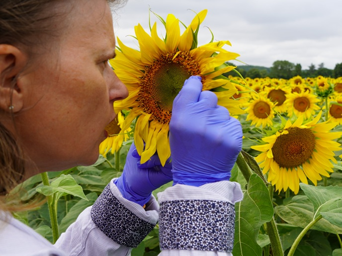
MAMBO has contributed to better performance in widely used identification and mapping services, including Pl@ntNet(opens in new window), Observation.org(opens in new window) and GeoPl@ntNet(opens in new window). In real-world terms, automated detection in images can work well, but reliable identification depends on the species group and the available training data. Project coordinator Toke Thomas Høye explains: “For animals, the detection level is generally satisfactory, but for identification, recognition works best for birds and moths, while recognition of, for example, some bat species from ultrasound and many other insect groups from images remains challenging.” The project also developed tools that can analyse a whole vegetation plot from a single image, helping standardise plant surveys and reducing the burden on expert botanists.
Habitat condition maps from LiDAR, drones and satellites
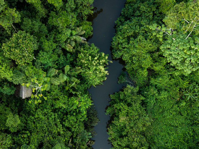
Species data is only half the picture. Protected areas also need habitat condition metrics that are comparable across sites and countries. MAMBO developed a pipeline to extract vertical woody structure metrics from airborne LiDAR and scaled it up using national LiDAR surveys. It also explored drone workflows, for example, estimating shrub cover and biomass in rewilding sites, mapping dead wood in woodlands and detecting large mammal tracks in reedbeds. A major gain is consistent coverage at fine detail. As the team notes, “By capitalising on existing satellite imagery and biodiversity data, the scalable technology developed for species and habitat mapping has allowed access to consistent predictions covering Europe at an unprecedentedly high spatial resolution of 50 m, which cannot be achieved by traditional in situ biodiversity monitoring.” Keeping maps current still requires updated satellite inputs and continued ground observations for training and evaluation.
From research pipelines to usable tools, and what comes next
Many AI workflows work well on a laptop but struggle in real operations, where teams need simple interfaces, clear outputs and support. MAMBO flagged that gap early: “A key challenge has been to combine the latest AI developments and functionality with user-friendly tools for accessing the results in formats relevant to stakeholders,” project participant Niels Raes underlined. Several outputs are already usable. The project provides a tutorial and a public web app for image-based plant-quadrat surveys, and GeoPl@ntNet lets users visualise and summarise habitat and plant species predictions at different spatial scales. MAMBO’s LiDAR workflow has been applied across multiple European demonstration sites and produces harmonised metrics describing vegetation height, cover and structural complexity. MAMBO’s tools will also feed into the Biodiversity Meets Data (BMD)(opens in new window) project, which will create a centralised digital platform – the Single Access Point – for high-throughput monitoring by Natura 2000 managers and policymakers. This project is coordinated by Niels Raes. In that set-up, MAMBO’s image and sound algorithms support (semi)automated identification from camera-trap images and recordings, while BMD focuses on packaging tools, data and analyses into an access point that supports reporting under the EU Nature Directives.