



Europe’s space data services join the federation

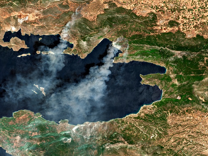
From their high vantage point, satellites can gather information on a range of phenomena over time, including land use, air and water quality, surface temperatures, crop health, wildfire progression, the extent of floodwaters, and much more. Yet much of the potential of Earth observation (EO) goes unfulfilled. “Data often doesn’t reach the right people at the right time, and only benefits a small circle of expert users,” says Jean-François Vinuesa, future programs manager at Airbus Defence and Space(opens in new window) in France. “Our ambition is to improve the current fragmented and proprietary EO landscape, opening it to boutique developers and end users such as municipal authorities,” explains Vinuesa. “Open data-driven EO services could boost European competitiveness, and shared standards will enable governments to develop interoperable EO-based missions, while retaining data governance or localisation rules.”
An interconnected, federated EO system
Building on the DOMINO-X project, which developed modular and interoperable components for the Earth-based half of satellite services, the DOMINO-E(opens in new window) project set out to build a federation layer that offers users seamless access to imagery from multiple missions and providers. The consortium of seven European partners, led by Airbus Defence and Space, designed, built and validated three further proof of concept ‘dominoes’ to support the growth of space data products and services. The Coverage Service, developed with ONERA(opens in new window) and Capgemini(opens in new window), manages and optimises data requests from users across a federation of EO missions. The Mission Booking Service developed with Polish SME ITTI(opens in new window) provides a standardised interface for scheduling and managing satellite resources. And the Virtual Assistant Service built with Latvian SME Tilde(opens in new window) helps to identify the user’s needs and retrieve the most appropriate imagery. Communications were led by Oikoplus(opens in new window).
Architecture developed with a route to market in mind
The Coverage Service was tested with a complex request for a large-area, partitioned image of southern France, including coordinated tasks across mission chains – requiring different satellites, operators and infrastructures – and optimised for capacity visibility and user constraints. The Mission Booking Service was successful in automatically scheduling satellite-to-ground station contact, accommodating factors such as orbital windows, bandwidth availability and user priorities. Lastly, the Virtual Assistant Service translated plain language descriptions of the desired region by non-experts into image previews. “We confirmed that federated planning is faster, with fewer redundant satellite or mission acquisitions,” adds Vinuesa. “A federation approach could redefine the EO sector from being about satellite quantity to how quickly observations become insights.”
Building a standards-based marketplace
The work supports a new EO marketplace, characterised by dynamically evolving roles and services, from hosting to workflows and user experience. “Our Ground-Stations-as-a-Service model in particular could spearhead a pay-as-you-go market,” explains Vinuesa, “lowering entry costs for SMEs that are well placed to introduce innovative commercial services.” With the project concluded, the consortium is currently seeking partners to expand its efforts – especially ground-station operators, mission planners and analytics developers. Further work is being delivered through sister projects DOMINO-A, which extended the DOMINO concept to radar constellations, and the EU-funded MESEO project, which aims to deliver a flexible, scalable and secure end-to-end system for processing satellite data.