

Rapid infrastructure monitoring through Earth observation


The efficient and reliable delivery of services such as energy, communications and transport is essential to Europe’s security and economy. Yet monitoring the integrity of infrastructure that may stretch across hundreds or even thousands of kilometres – such as power lines, railways and roads – remains a challenge. Satellite technology offers a means to provide the continuous, wide-coverage monitoring desired, and this data could also act as a valuable resource to support innovation in the downstream market. However, progress has been limited by the complexity, time needed to deliver usable data, and operational effectiveness of satellites at night and in adverse conditions. These were some of the challenges that the IIMEO(opens in new window) project sought to address. “We wanted to develop an automated system that detects infrastructure malfunctions across large areas and in near real time, regardless of local weather and lighting conditions,” explains Felix Wenk, a systems engineer at project host OHB Digital Connect(opens in new window) in Germany. The project team also wanted to make it easy for end users to request observations for specific areas. “We used railway operators as a pilot use case – if a track is blocked, it will hold up all traffic,” says Wenk. “At the same time, we also wanted to ensure that the technology could be applicable to other end-use cases.”
A multispectrum view from above
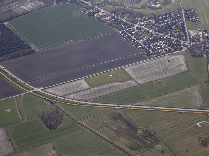
The IIMEO system combines three elements – a satellite module, on-ground platform and user services. For the satellite, the project team combined cameras with synthetic aperture radar, allowing observations to be made during the day or night, and through cloud cover. On-board image processing and algorithms were developed to combine information from both sources, automatically detecting anomalies and reporting this information to the relevant authorities in a quick and functional way. The prototype equipment was put through airborne trials on a small aircraft that flew along the route of the Küstenbahn Ostfriesland in northern Germany. Using a museum railway that operates infrequent tourist services, the team was permitted to place temporary obstacles on the tracks to simulate potential disruptions. In the study, rail operators sent observation requests from an on-ground platform which were passed to the airborne satellite. Data visualisations of the track section were then returned, and presented as a digital map.
Delivering fast and accurate monitoring
The successful test demonstrated that combining camera and radar technology with automated on-board processing can offer fast and accurate monitoring, with the team aiming to have results delivered within one hour of a request. Next steps include expanding the technology to other use cases, such as roads. “The on-ground platform we developed could also potentially be used for other Earth observation projects, and not just for infrastructure,” adds Andreas Weihusen, also a systems engineer at OHB. Wenk says the on-board image processing technology developed in IIMEO has already been used by another project that required geo-referenced images from an airplane. Moving forward, IIMEO has shown that Earth observation technologies can enable the continuous monitoring of infrastructure on a large scale. This will enable operational efficiencies for end users, and boost the satellite-as-a-service business model in Europe. Weihusen envisions a future where a large system integrator could supply a satellite constellation, with SMEs integrating corresponding monitoring and data analysis technologies.