Harnessing satellite data for proactive forest management
Europe’s forests provide habitats for countless species of amphibians, birds and mammals (including people), and healthy forest ecosystems help to regulate water flows, prevent erosion and store carbon. However, increasing numbers of fires, pest outbreaks and climate pressures pose significant risks to forest health and sustainability. “These risks are intensified by climate change,” says SWIFTT(opens in new window) project coordinator Ariane Kaploun, head of nature-based solutions at AXA Climate(opens in new window). “Insects breed more frequently, more dry fuel for wildfires is made available, and the frequency and severity of storms increases.”
Regular, accurate forestry information
Gathering regular and accurate information on the condition of forests is a vital first step to protecting these resources. The EU’s Copernicus(opens in new window) Earth Observation programme can play a critical role here, providing information that can be used to estimate biomass changes and even leaf chlorophyll content. The SWIFTT project set out to develop an artificial intelligence (AI)-powered forest monitoring platform to better leverage satellite data, as well as machine learning, to detect, analyse and predict major forest threats across Europe. “Working with foresters, risks experts and AI engineers was an extraordinary opportunity to build a state-of-the-art and reality-grounded platform,” adds Quentin d’Huart, CEO at project partner Timbtrack(opens in new window) in Belgium. To achieve this, researchers from both academia and the private sector worked together to create and improve AI models, strengthening the SWIFTT platform’s ability to identify threats. Finally, SWIFTT’s foresters were responsible for collecting forest datasets in Belgium, France, Germany and Latvia, and for testing the SWIFTT solution on the ground. “Ground data was needed to calibrate our AI models,” explains Annalisa Appice, professor at project partner the University of Bari(opens in new window) in Italy. “Partners collected precise, time-stamped and geo-referenced datasets on bark beetle, wind and fire damage in their forests, as well as identifying areas with healthy, intact trees. This helped train the SWIFTT system models to distinguish between damaged and undamaged forests.”
Satellite monitoring and AI-driven analytics
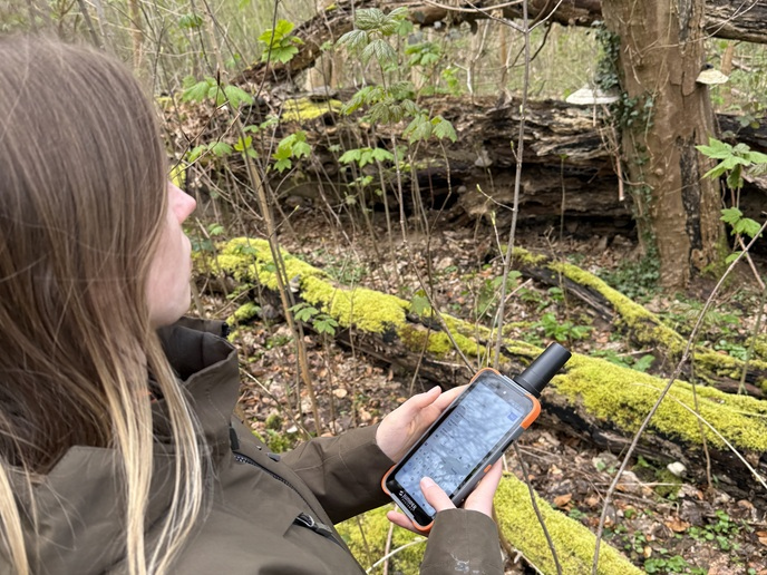
The key result of the project is the SWIFTT platform(opens in new window), an all-in-one web and mobile platform that combines high-resolution satellite monitoring with AI-driven analytics. The platform currently provides a range of actionable information, such as monthly assessments of spruce bark beetle and fire damage, as well as wind damage assessments. Other services include the detection of active fires, identification of fire-risk forestry areas for the following three months, and indications of forest health. Foresters receive alerts containing analysis of the threat, allowing them to prioritise responses. The mobile app allows foresters to collect field data that will be used by the platform to improve its accuracy. “By centralising these functionalities into a single platform, SWIFTT enables forest owners, managers and industry stakeholders to shift from reactive to proactive decision-making,” notes d’Huart. “This will help to reduce losses and optimise forest management strategies.”
Preserving biodiversity through healthier forests
Following project completion, the SWIFTT platform will be commercialised by Timbtrack, further developing the software’s capabilities and extending the coverage of the platform within and beyond Europe. “In this way, SWIFTT will not only enable forest managers to adapt to climate change and its financial consequences, but also make Europe better positioned to combat climate change and preserve our biodiversity through healthier forests,” says Kaploun.