


Land-use models identify low-cost farm emission cuts

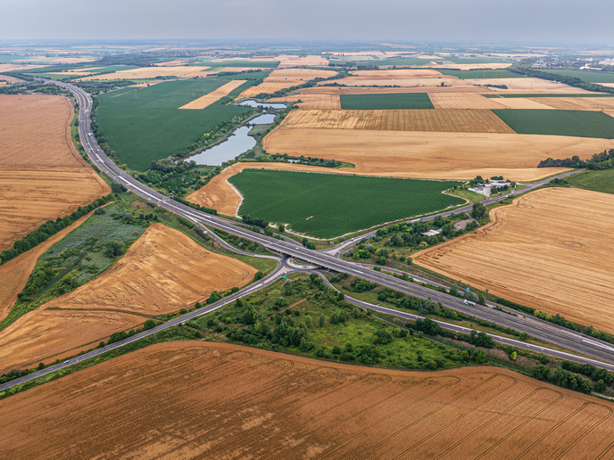
Land can store carbon, produce food, support rural livelihoods and protect nature, but not always in the same place or at the same time. That is why decisions about agriculture and forests are difficult. A policy that looks good on paper may impose costs on farmers, overlook local realities or shift pressure elsewhere. The EU-funded LAMASUS(opens in new window) project, coordinated by the International Institute for Applied Systems Analysis(opens in new window), is building modelling tools and stakeholder processes to help policymakers compare these trade-offs. Its work supports the European Green Deal(opens in new window), the Vision for Agriculture and Food and the next stages of the common agricultural policy(opens in new window).
Land-use models show where farm policy can deliver more
LAMASUS combines land-use data, crop and grassland simulations, biodiversity models and farm-level cost assessments. A project policy brief, covered in a CORDIS news article, found that strategic de-intensification on 7 % of EU agricultural land could reduce agricultural emissions by 4.9 %, or around 12 million tonnes of carbon dioxide equivalent per year, while reducing total agricultural production value by 2 %. The point is not to ask every farm to do the same thing. As Tamás Krisztin, LAMASUS co-principal investigator and senior researcher at the International Institute for Applied Systems Analysis, explains, “LAMASUS helps policymakers target public funding where it can achieve the greatest environmental benefits by identifying areas where land-use pressures require changes in farming practices and, in some cases, regional product composition.”`
Strategic agricultural de-intensification without simply producing less
For non-specialists, de-intensification can sound like farming less. In practice, the project treats it as a more careful use of inputs such as fertilisers, pesticides, fuel and livestock density, backed by better skills, local knowledge and precision farming. The LAMASUS policy brief(opens in new window) identifies win-win areas where at least EUR 350 per hectare each year could cut emissions by at least 1 tonne of carbon dioxide annually and increase biodiversity intactness by 1 % every decade. Input from farmers and other land users, policymakers and researchers changed how the policy brief’s findings were presented. They suggested using a grid rather than administrative areas such as those defined by the Nomenclature of Territorial Units for Statistics to show local results more precisely.
The LAMASUS Modelling Portal makes policy scenarios easier to compare
Models are only useful if people can understand what they show. LAMASUS translated results for Austria, France, Germany, the Netherlands and Norway into Land Policy Dashboard stories(opens in new window) developed with an agricultural journalist. It also discussed them during workshops with local and national stakeholders. Tamás Krisztin points out that “LAMASUS scenarios will help EU-level, national and local policymakers to find policies that support economic revenue and sustainable farming.” The project’s online tools are designed to make that comparison easier: “The LAMASUS Scenario Explorer allows users (modellers and policymakers alike) to compare across scenarios and models,” he says. That matters because climate and biodiversity policy often fails when evidence stays locked in specialist reports. By linking models, maps, public datasets and local discussion, LAMASUS gives policymakers a more practical way to see where action could deliver environmental gains without treating farmers as an afterthought.